3D

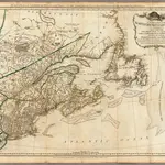
A General Map of the Northern British Colonies in America.
A General Map of the Northern British Colonies in America, which comprehends the Province of Quebec, the Government of Newfoundland, Nova-Scotia, New-England and New-York. from the Maps Published by the Admiralty and Board of Trade, Regulated by the Astronomic and Trigonometric Observations of Major Holland, and Corrected from Governor Pownall's Late Map 1776. London: Printed for Robt. Sayer & Jno. Bennett ... 14th August 1776.
David RumseyRobert Sayer and John Bennett (Firm)
1776
1776
Sayer and Bennett
1:3 700 000

